

ukmaps.co.uk
South West Coastal 300 Route Map - Digital Download
South West Coastal 300 Route Map - Digital Download
Couldn't load pickup availability
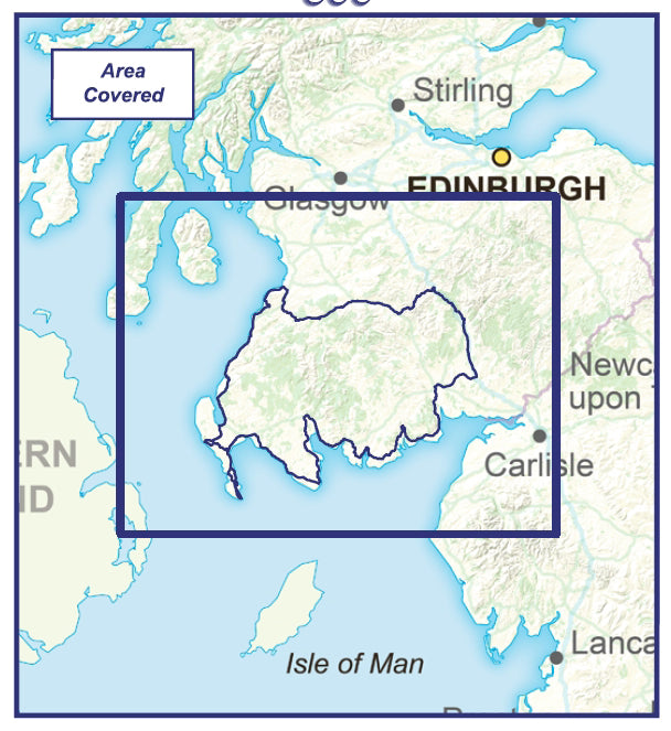
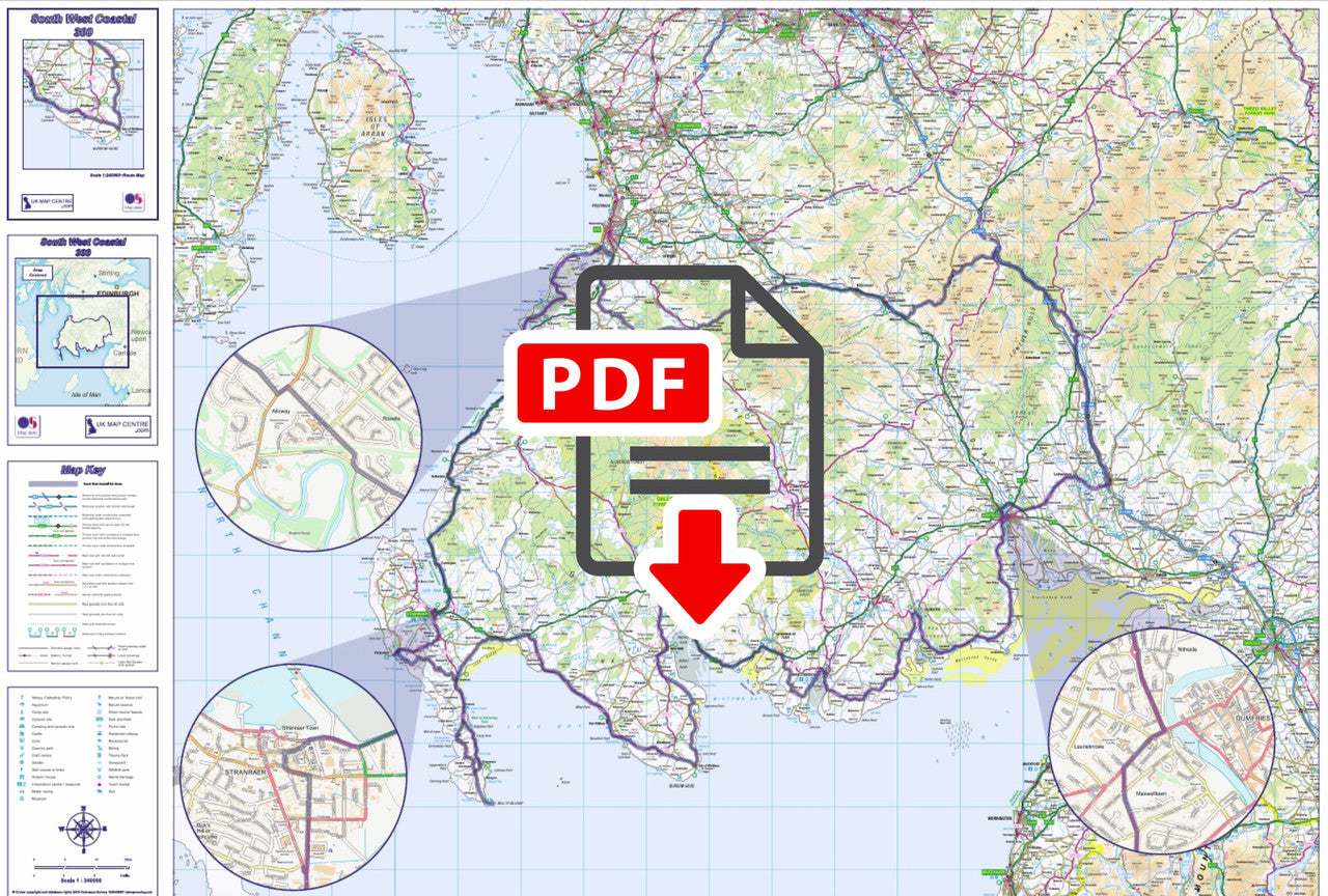
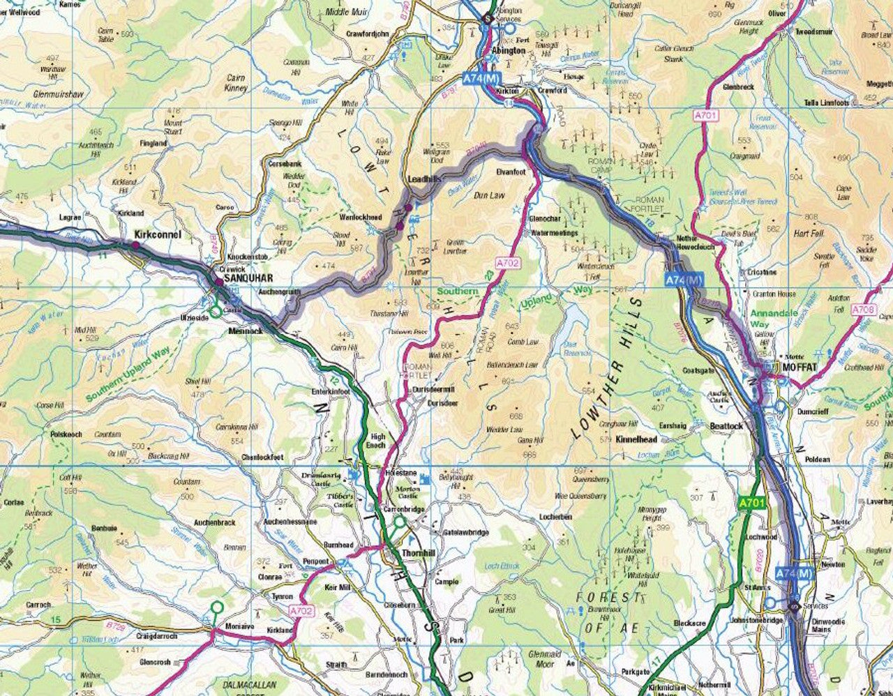
The South West Coastal 300 Map has been created for those interpid adventurers undertaking the 300 mile round trip from Alloway, down through the South Ayrshire Coastline and along the Dumfries and Galloway cost, skirting the quiet forests of the Southern Uplands and taking in the scenic towns and villages along the way.
We've produced the SWC300 Map at 1:240,000 scale using Ordnance Survey's Road Mapping data to provide a clear and accurate map, the SWC300 route has been highlighted, but the rest of the map is clear enough to enable you to make diversions and day trips off the route too. There are streetmap callouts for Alloway, Dumfries and Stranraer and the map shows points of interests for tourists such as National Park boundaries, long-distance walking paths, tourist sites, camping & caravan parks, etc.
- 1:240,000 Scale OS Road Mapping Highlights Route
- Map Size if Printed at Actual Size: 80cm x 60cm
- Supplied as High Quality 300dpi PDF image
- Download supplied on Order Completion
- File size:64mb
Share

Additional Information
Custom Maps
If you can't find a map to suit your needs we will happily quote you for a custom map.
Email your request to: custom@ukmapcentre.com or complete our online custom request form via this link > Custom Map Form
Subscribe to our emails
Be the first to know about new collections and exclusive offers.