Product:DXF or DWG for CAD - OS MASTERMAP® Topography Layer optional contours available | System Live! |
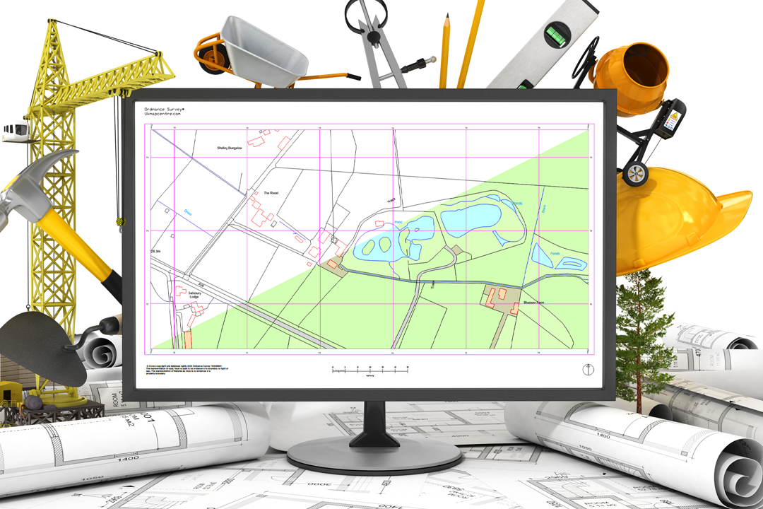
Designed for use with CAD software. OS MasterMap® Topography Layer in a layered vector format. Available as a DXF or DWG. Optional height layers (contours and digital terrain model - OS TerrainTM 5) . Extended licence terms now available. Available in a Shape (.shp) format by clicking here |

Enter a full Postcode (e.g. PA1 1UX) or Address (e.g. 25 Smith Street) Then click GO Once address is selected, red box on map shows ground extents Data Ordnance Survey Scale Vector - scalable Delivery E-mail Cost From: £18.80 + vat Format DXF or DWG (CAD) Size From: 100m x 100m Designed for use with CAD software. OS MasterMap® Topography Layer in a layered vector format. Available as a DXF or DWG. Optional height layers (contours and digital terrain model - OS TerrainTM 5) . Extended licence terms now available. Contours are generated from the OS Terrain® 5 using a third party application. They are not subject to Ordnance Surveys accuracy / specifications and are designed to provide a 2 dimensional guideline only. Please Note: To move Red Box click on the map and the area will re-centre.
STEP 3 of 3 If you need to alter your location, please go back to step 2 (map to the left) Your Price: --- + VAT Your Product: DXF or DWG for CAD - OS MASTERMAP® Topography Layer optional contours available Please complete the relevent boxes below: Final Step: Click the add button below if you are happy with the coverage (only the boxed highlighted area will be supplied) | |||||||||||||||||||||||||||
![]() | |||||||||||||||||||||||||||
Supplied under our Framework agreement with Ordnance Survey (Distribution Contract) You do not need your own licence to use/buy this product - a licence number will be stamped on each plan/map you purchase. As a best practice do not remove this licence number as it is required by Councils and other public bodies to check the authenticity of the Ordnance Survey data/prints. A non-exclusive, non-transferable licence. This product is supplied in an electronic version that requires CAD or a GIS You shall: Not use Licensed Data for any illegal, deceptive, misleading or unethical purpose or otherwise in any manner which may be detrimental to the reputation of Licensed Data or any person. Not copy, distribute, sell or commercially exploit this product. Full End-User PDF Document < click to download | |||||||||||||||||||||||||||
![]() |