
1
/
of
2
ukmaps.co.uk
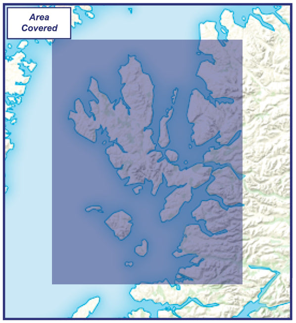
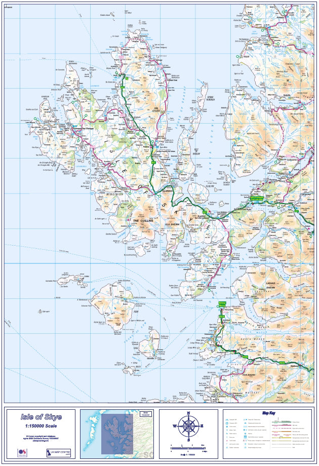
Compact Isle of Skye - Digital Download
Compact Isle of Skye - Digital Download
Regular price
£7.99
Regular price
Sale price
£7.99
Unit price
/
per
Couldn't load pickup availability
The Compact Isle of Skye has been produced using Ordnance Survey Road Map data, scaled to 1:150000. This map is ideal for planning travel for holidays or for work - road networks are clearly marked as are towns, villages and smaller settlements, in addition to tourist attractionsm airports and ferry terminals.
- Uses up-to-date Ordnance Survey Road Mapping data scaled to 1:150000
- Includes a key noting the various communication links
- Supplied as High Quality 300dpi PDF image
- Download supplied on Order Completion
- File size:38mb
- Map Size if Printed at Actual Size: 60cm x 80cm
Share

Additional Information
Custom Maps
If you can't find a map to suit your needs we will happily quote you for a custom map.
Email your request to: custom@ukmapcentre.com or complete our online custom request form via this link > Custom Map Form
Subscribe to our emails
Be the first to know about new collections and exclusive offers.