


1
/
of
3
ukmaps.co.uk
West Highland Way Compact Route Map - Digital Download
West Highland Way Compact Route Map - Digital Download
Regular price
£7.99
Regular price
Sale price
£7.99
Unit price
/
per
Couldn't load pickup availability
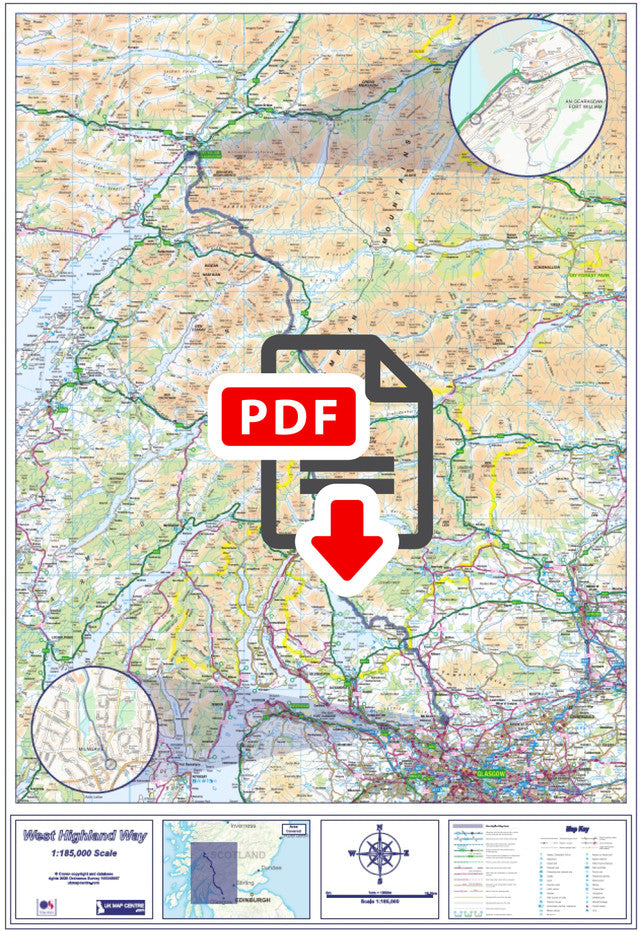
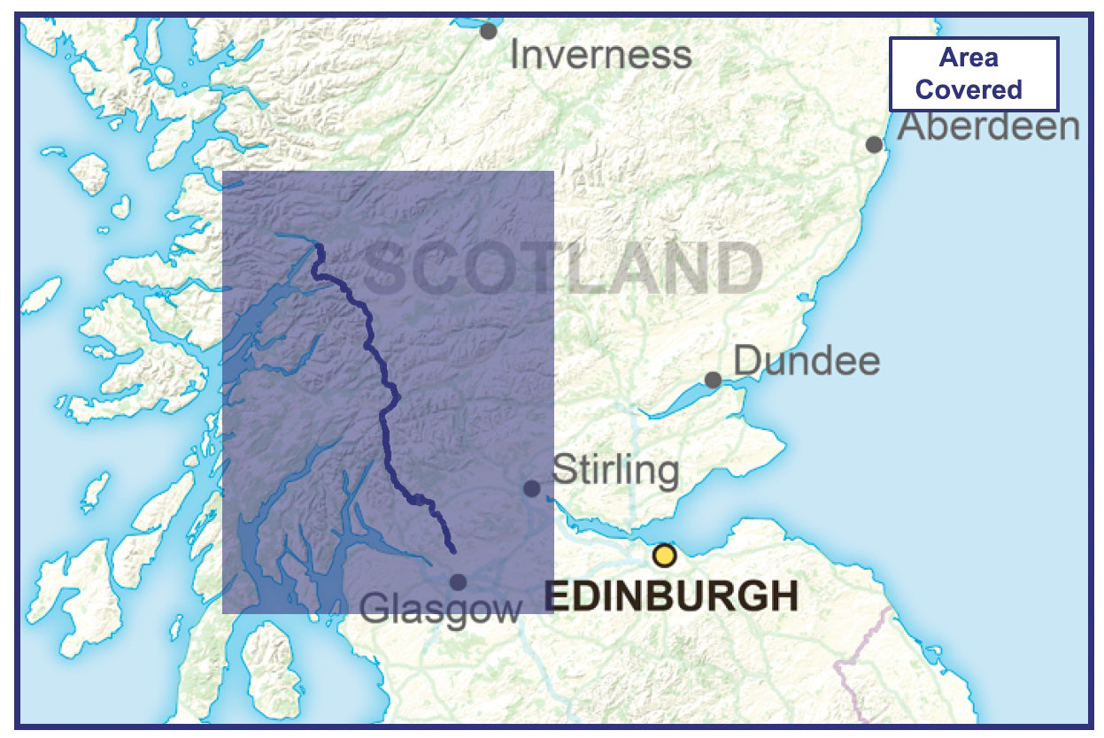
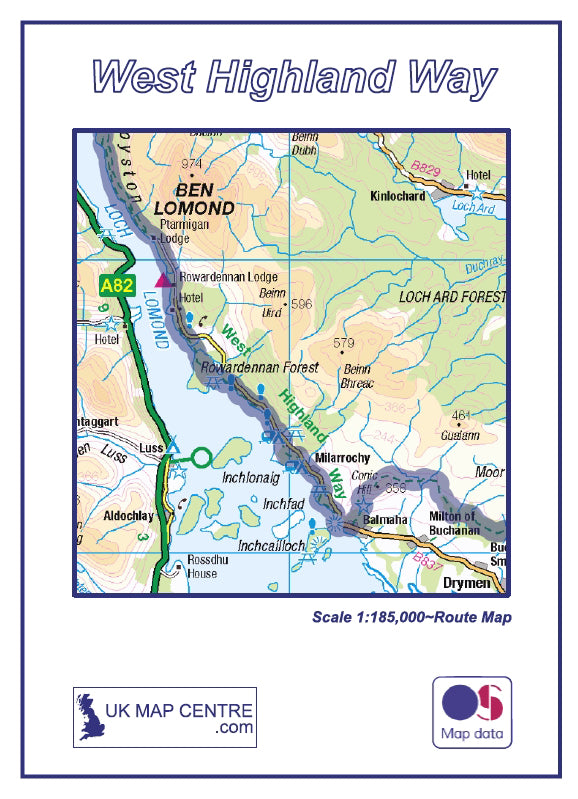
The West Highland Way Compact Route Map has been created using scaled OS Road Mapping to 1:185,000. This compact map of the famous route can be used as a general overview map for planning and for walking or cycling the route, or simply as a decorative map for your home or office.
If you would like a more detailed map using the latest 1:50,000 Scale OS walking map data please see our West Highland Way Route Map
- 1:185,000 scale map of the West Highland Way
- Supplied as High Quality 300dpi PDF image
- Download supplied on Order Completion
- File size:80mb
- Map Size if Printed at Actual Size: 60cm x 80cm
- Created from scaled Ordnance Survey Road Mapping
Share
Additional Information
Custom Maps
If you can't find a map to suit your needs we will happily quote you for a custom map.
Email your request to: custom@ukmapcentre.com or complete our online custom request form via this link > Custom Map Form
Subscribe to our emails
Be the first to know about new collections and exclusive offers.