-
Compact Scotland Postcode Area - Digital Download
Regular price £5.99Regular priceUnit price per -
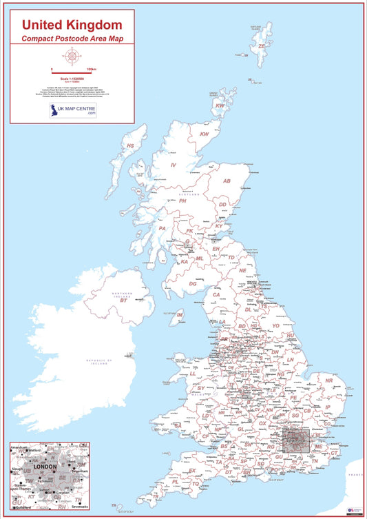
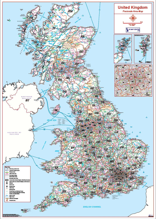
Compact UK Postcode Area - Digital Download
Regular price £5.99Regular priceUnit price per -
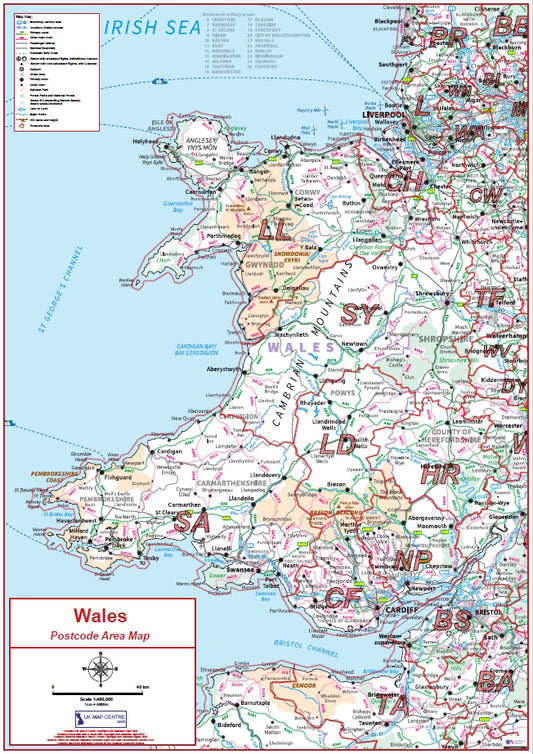
Compact Wales Postcode Area Map - Digital Download
Regular price £5.99Regular priceUnit price per -
Postcode Area 1 - Full UK - Digital Download
Regular price £9.99Regular priceUnit price per -
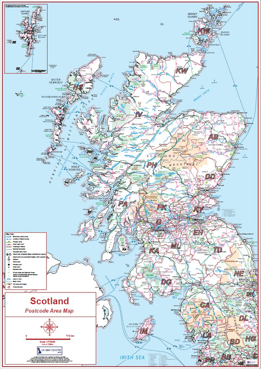
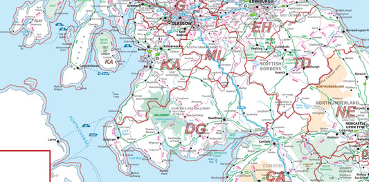
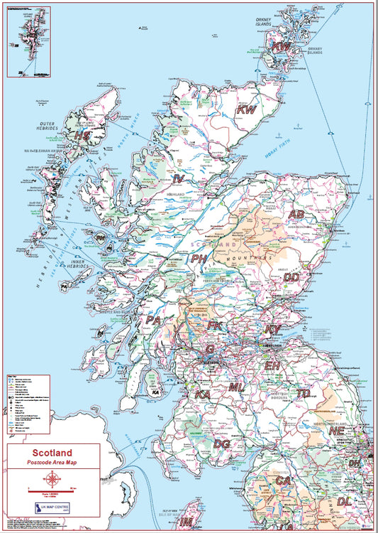
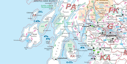
Postcode Area 2 - Scotland - Digital Download
Regular price £9.99Regular priceUnit price per -
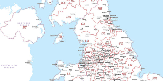
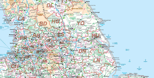
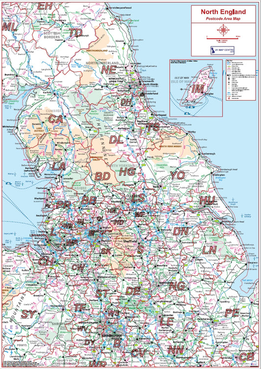
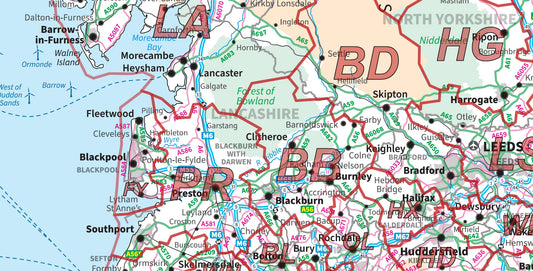
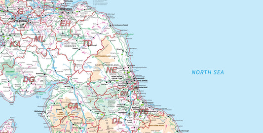
Postcode Area 3 - Northern England - Digital Download
Regular price £9.99Regular priceUnit price per -
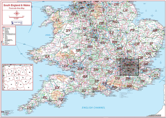
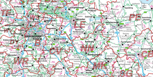
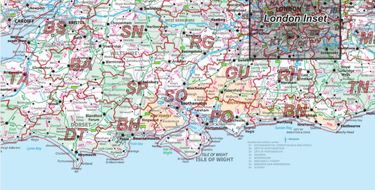
Postcode Area 4 - Southern England & Wales - Digital Download
Regular price £9.99Regular priceUnit price per -
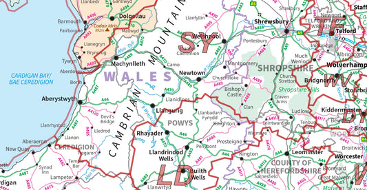
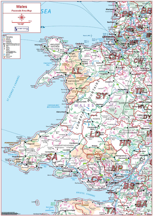
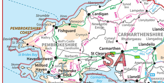
Postcode Area 5 - Wales - Digital Download
Regular price £9.99Regular priceUnit price per -
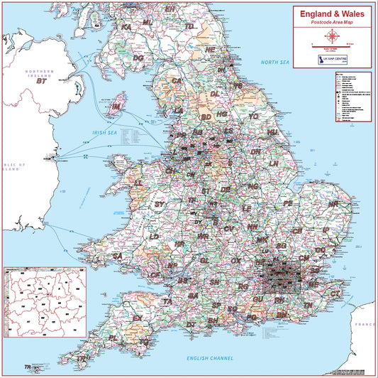
Postcode Area 6 - England & Wales - Digital Download
Regular price £9.99Regular priceUnit price per -
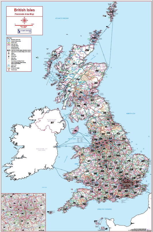
Postcode Area 7 - British Isles - Digital Download
Regular price £9.99Regular priceUnit price per