
1
/
of
2
ukmaps.co.uk
Travel Map 4 - Southern England & Wales - Digital Download
Travel Map 4 - Southern England & Wales - Digital Download
Regular price
£9.99
Regular price
Sale price
£9.99
Unit price
/
per
Couldn't load pickup availability
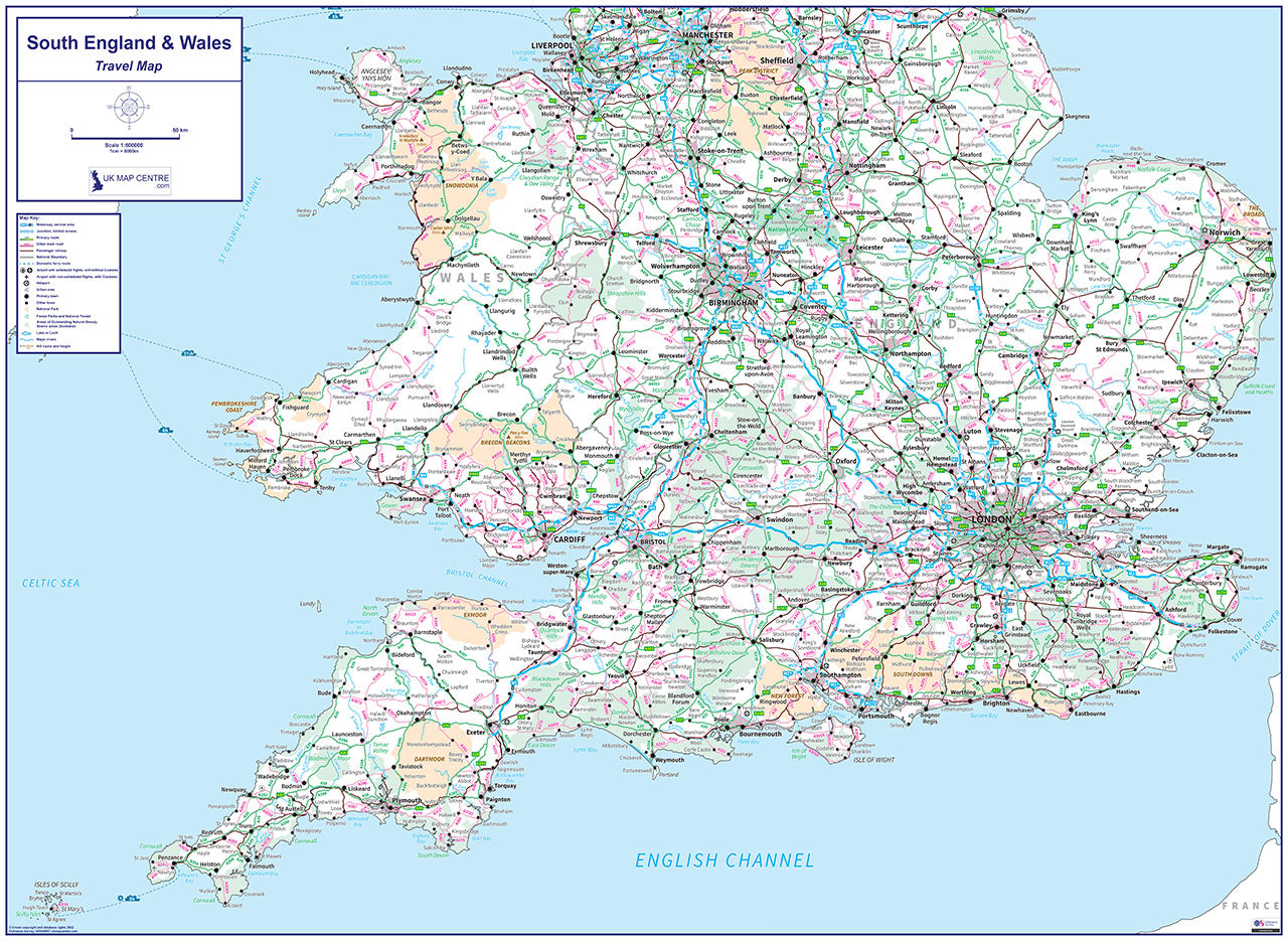
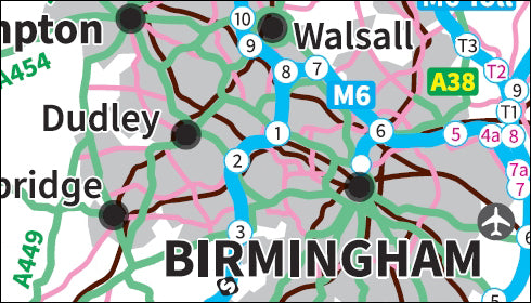
The Travel Map 4 shows Southern England & Wales using Ordnance Survey 1:500,000 scale mapping and shows Road, Rail & Ferry communication links for the UK mainland and the islands including the Scilly Isles. The Travel Map 4 also includes a key which identifies the communication links symbols. This map is ideal for office planning but is also great for home or educational use.
- 1:500000 scale map of the South of England & Wales
- Displays Road, Rail an Ferry communication links for the UK mainland and Islands
- Includes a key noting the various communication links
- Supplied as High Quality 300dpi PDF image
- Download supplied on Order Completion
- File size:56mb
- If printed at actual size: 841mm x 1189mm
Share

Additional Information
Custom Maps
If you can't find a map to suit your needs we will happily quote you for a custom map.
Email your request to: custom@ukmapcentre.com or complete our online custom request form via this link > Custom Map Form
Subscribe to our emails
Be the first to know about new collections and exclusive offers.