


1
/
of
4
ukmaps.co.uk
Heart 200 Route Map - Digital Download
Heart 200 Route Map - Digital Download
Regular price
£7.99
Regular price
Sale price
£7.99
Unit price
/
per
Couldn't load pickup availability
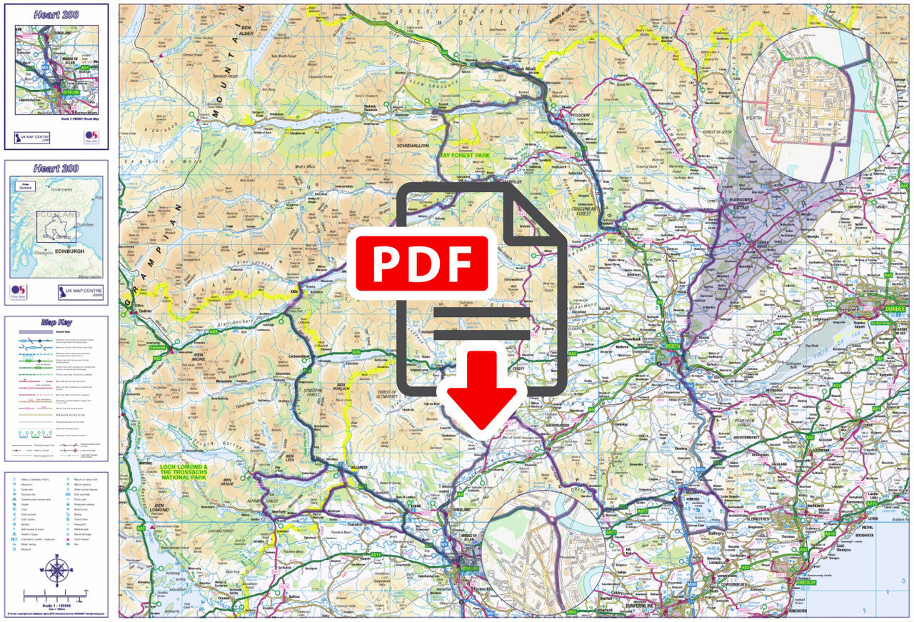
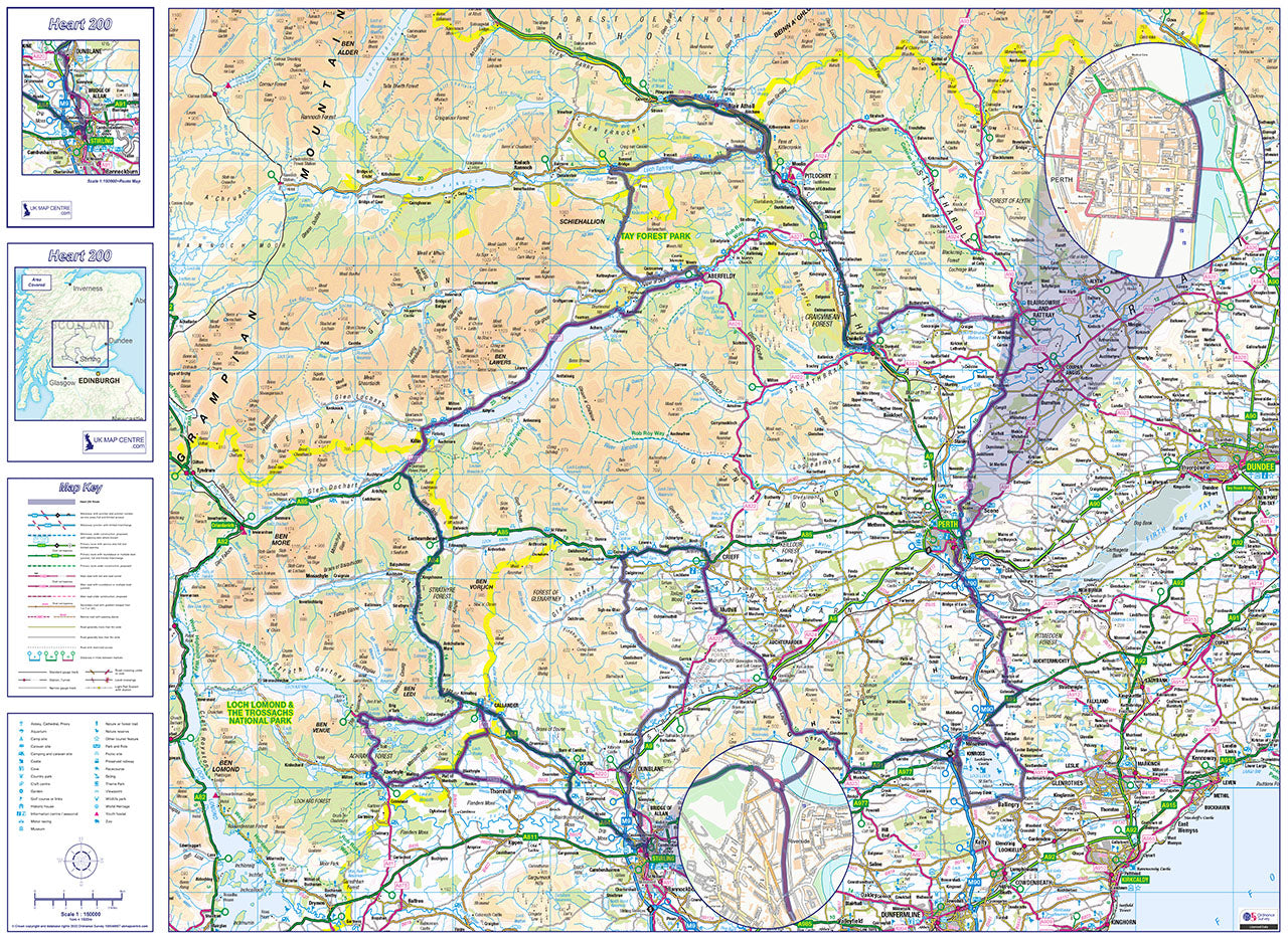
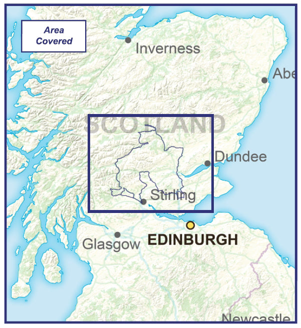
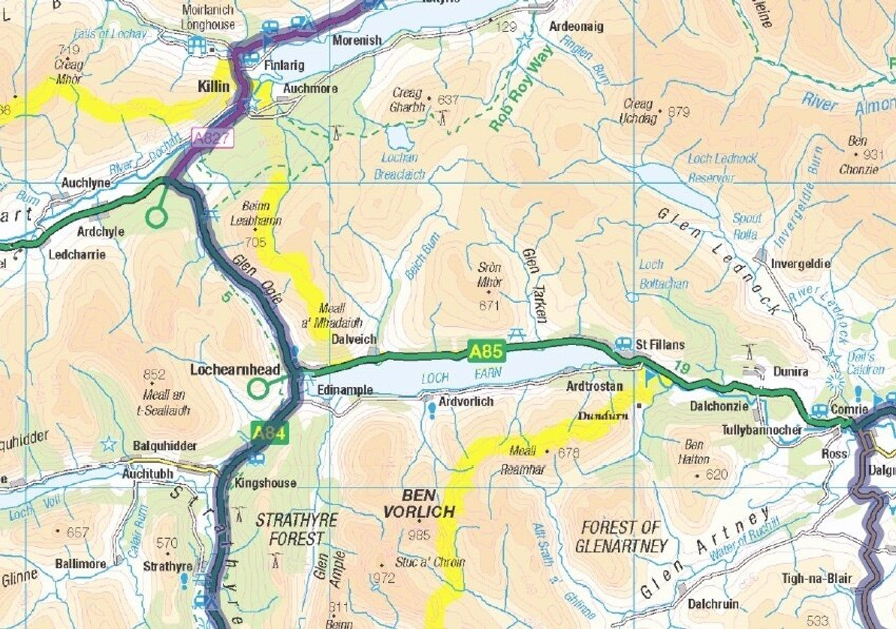
The Heart 200 driving route map available as a digital download. This circular route takes in the Cities of Stirling and Perth and also passes through scenic hotspots including Callander, Aberfeldy, Doune, Aberfoyle, Blair Atholl, Crieff and the Trossachs, showcasing the beautiful Heart of Scotland. The route also offers an opportunity to climb famous landmarks such as Ben Lomond, Ben Venue and Ben Ledi.
- 1:150,000 Scale OS Road Mapping
- Highlights Route
- Map Size if Printed at Actual Size: 80cm x 60
- Supplied as High Quality 300dpi PDF image
- Download supplied on Order Completion
- File size:70mb Digital
Share
Additional Information
Custom Maps
If you can't find a map to suit your needs we will happily quote you for a custom map.
Email your request to: custom@ukmapcentre.com or complete our online custom request form via this link > Custom Map Form
Subscribe to our emails
Be the first to know about new collections and exclusive offers.