

ukmaps.co.uk
Hadrian's Wall Route Map - Digital Download
Hadrian's Wall Route Map - Digital Download
Couldn't load pickup availability
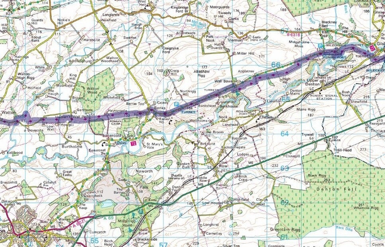
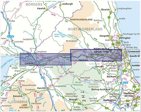
The Hadrian's Wall Path Route Map uses up-to-date 1:50,000 Ordnance Survey Mapping to map out one of the UK's most iconic long-distance routes. The 84 mile (135km) route stretches from West to East, Boness-on-Solway to Wallsend in the East, much of it running alongside the World Heritage Site of Hadrian's Wall. This gives walkers a unique opportunity to complete a long distance walk alongside an important archaeological and historical monument, with the opportunity to see even more archaeological sites along the way. Additionally the walk takes in some beautiful landscapes and scenery, the towns and villages along the way are also worth a visit.
We've created the map using up-to-date 1:50,000 Scale Ordnance Survey Mapping to ensure walkers have an accurate map on which the trail is shown and one which you will find the locations of other tourist sites, campsites, services and all the usual information you are used to seeing on a 1:50,000 scale OS map.
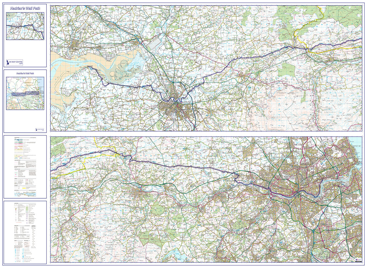
The route has been split into two sections, East and West so that the whole route can fit on to a single sheet - rather than having to buy the 4 standard Landranger sheets. The route is highlighted in blue for ease of navigation.
- Up-To-Date 1:50,000 Scale OS Mapping Data
- Hadrian's Wall Path highlighted in blue for ease of navigation Shows points of interest and other useful info for tourists and visitors
- Map size if Printed at Actual Size: 1440mm x 960mm (Flat)
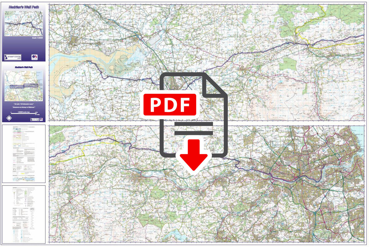
- Supplied as High Quality 300dpi PDF image
- Download supplied on Order Completion
- File size:225mb
Share


Additional Information
Custom Maps
If you can't find a map to suit your needs we will happily quote you for a custom map.
Email your request to: custom@ukmapcentre.com or complete our online custom request form via this link > Custom Map Form
Subscribe to our emails
Be the first to know about new collections and exclusive offers.