
1
/
of
2
ukmaps.co.uk
Relief Map 4 - Southern England & Wales - Digital Download
Relief Map 4 - Southern England & Wales - Digital Download
Regular price
£9.99
Regular price
Sale price
£9.99
Unit price
/
per
Couldn't load pickup availability
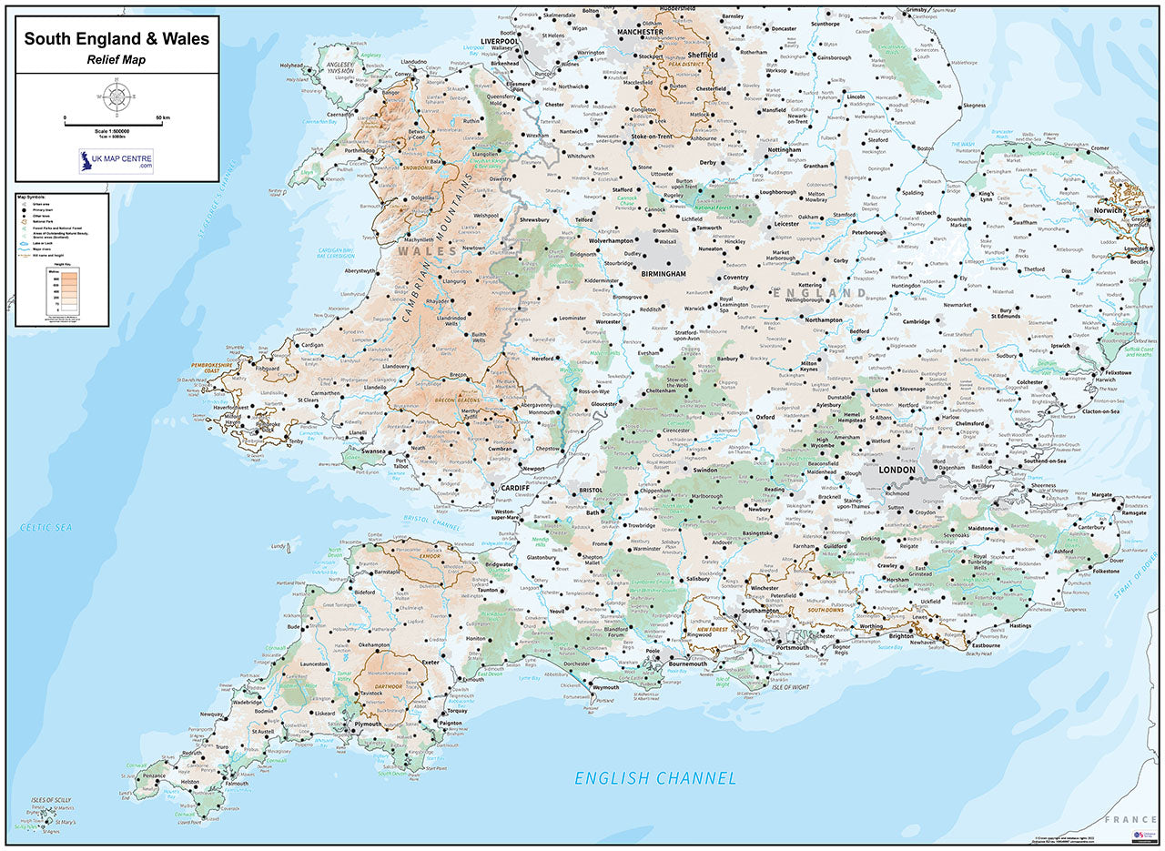
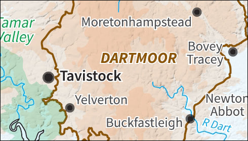
The Relief Map 4 utilises 1:500,000 scale Ordnance Survey mapping data to provide a clear and easy to use map of the South of England and Wales. An easy to use height key shows land height above sea-level across the country. Also noted are national boundaries for England and Wales as well as county boundaries for these areas.
- 1:500,000 scale map of Southern England & Wales
- Supplied as High Quality 300dpi PDF image
- Download supplied on Order Completion
- File size:46mb
- If Printed at Actual Size - Map Dimensions: 1189mm x 841mm
- Depicts the land height above sea level
- Created from Ordnance Survey Relief Miniscale
- Includes a height key
Share

Additional Information
Custom Maps
If you can't find a map to suit your needs we will happily quote you for a custom map.
Email your request to: custom@ukmapcentre.com or complete our online custom request form via this link > Custom Map Form
Subscribe to our emails
Be the first to know about new collections and exclusive offers.