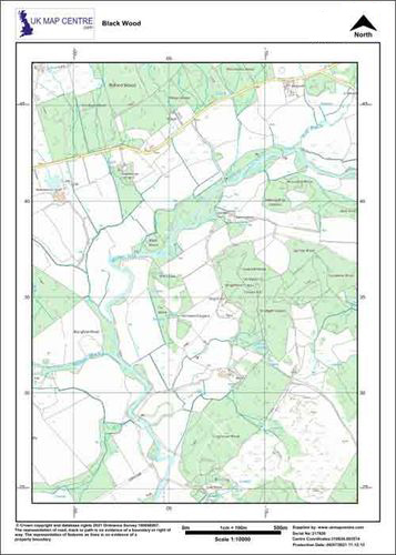
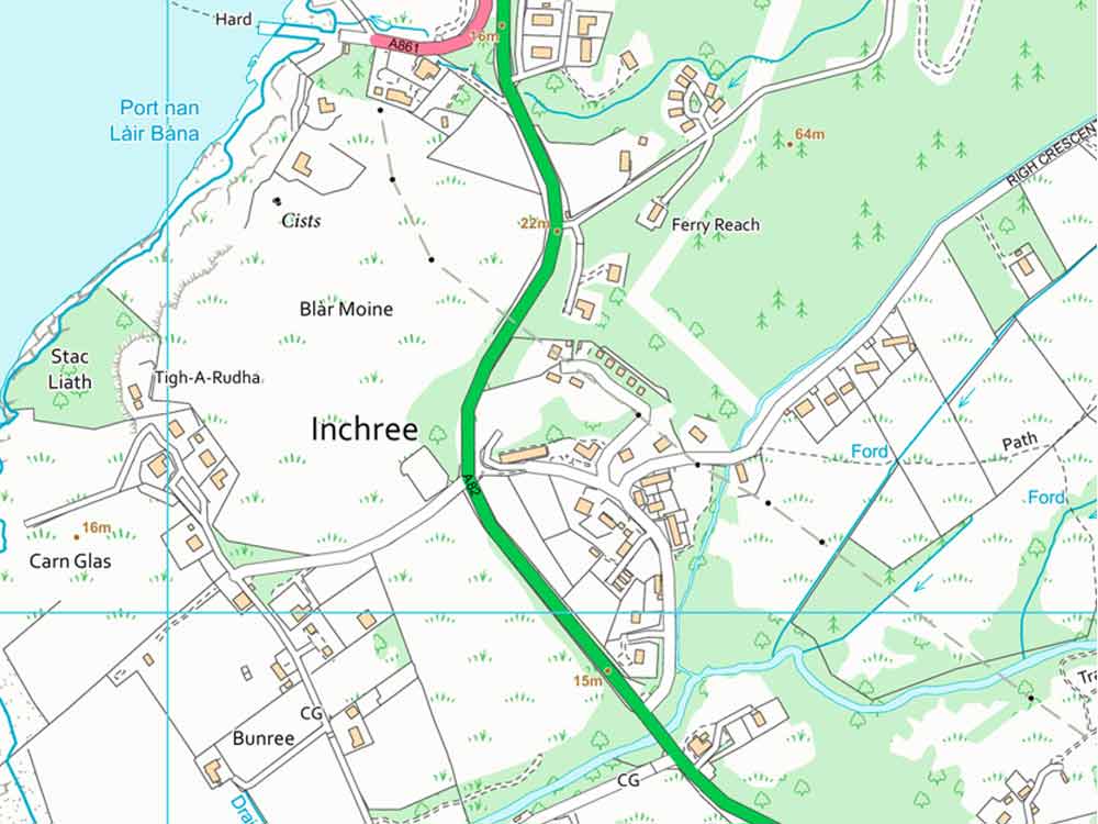
1:5000 plan by post
An enlarged extract from Ordnance Survey 1:10 000 data. Particularly useful for covering larger areasMapping Ordnance Survey Scale 1:5000 Delivery Post Cost From: From: £17.50 (no vat) Format Paper copies Size From: A4 to A0 Sample An enlarged extract from Ordnance Survey 1:10 000 data. Particularly useful for covering larger areas . Ideal for reports, schedules, Enviromental Analysis, Forrestry and Estate Management.
STEP 2 of 3 After completing step 1, your location will be highlighted below:
STEP 3 of 3 Coverage Confirmation: If you need to alter your location, please go back to step 2 (map to the left) Your Price: --- (+ no VAT) Paper maps qualify for zero-rating Your Product: 1:5000 plan by post Please complete the relevent boxes below: Final Step: Click the add button below if you are happy with the coverage (only the boxed highlighted area will be supplied) | |||||||||||||||||||||||||
Supplied under our Framework agreement with Ordnance Survey (Printed Products Contract) You do not need your own licence to use/buy this product - a licence number will be stamped on each plan/map you purchase. You must select the relevant number of copies that you require at time of purchase. You are entitled to submit this product as part of a submission to a Local Authority, Land Registry, Electricity Board or other body. A non-exclusive, non-transferable licence. Customer Generated Content: you are permited to add basic content to this Product - ie outline a property in red for purposes of planning permission. This product is supplied in printed format by post only. You shall: Not use Licensed Data for any illegal, deceptive, misleading or unethical purpose or otherwise in any manner which may be detrimental to the reputation of Licensed Data or any person. Not copy, sub-license, distribute, sell or commercially exploit this product. | |||||||||||||||||||||||||


