OS 1:25,000 Scale Colour - Overview
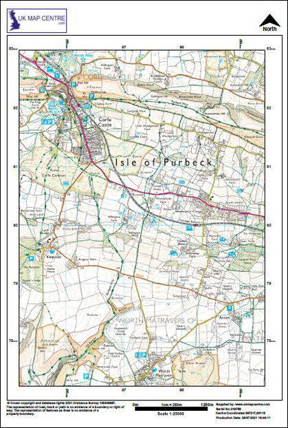
1:25 000 Scale Colour Mapping is the must-have map for hikers and cyclists. It depicts the landscape with detail and clarity that’s unsurpassed at this scale. Popular with Farmers:
- Same detail as the popular OS Explorer paper map series
- Suitable for emergency responders
- Contours
- Vegetation
- Scree
- Shoreline detail
- Shows field boundaries
Alternative Products: